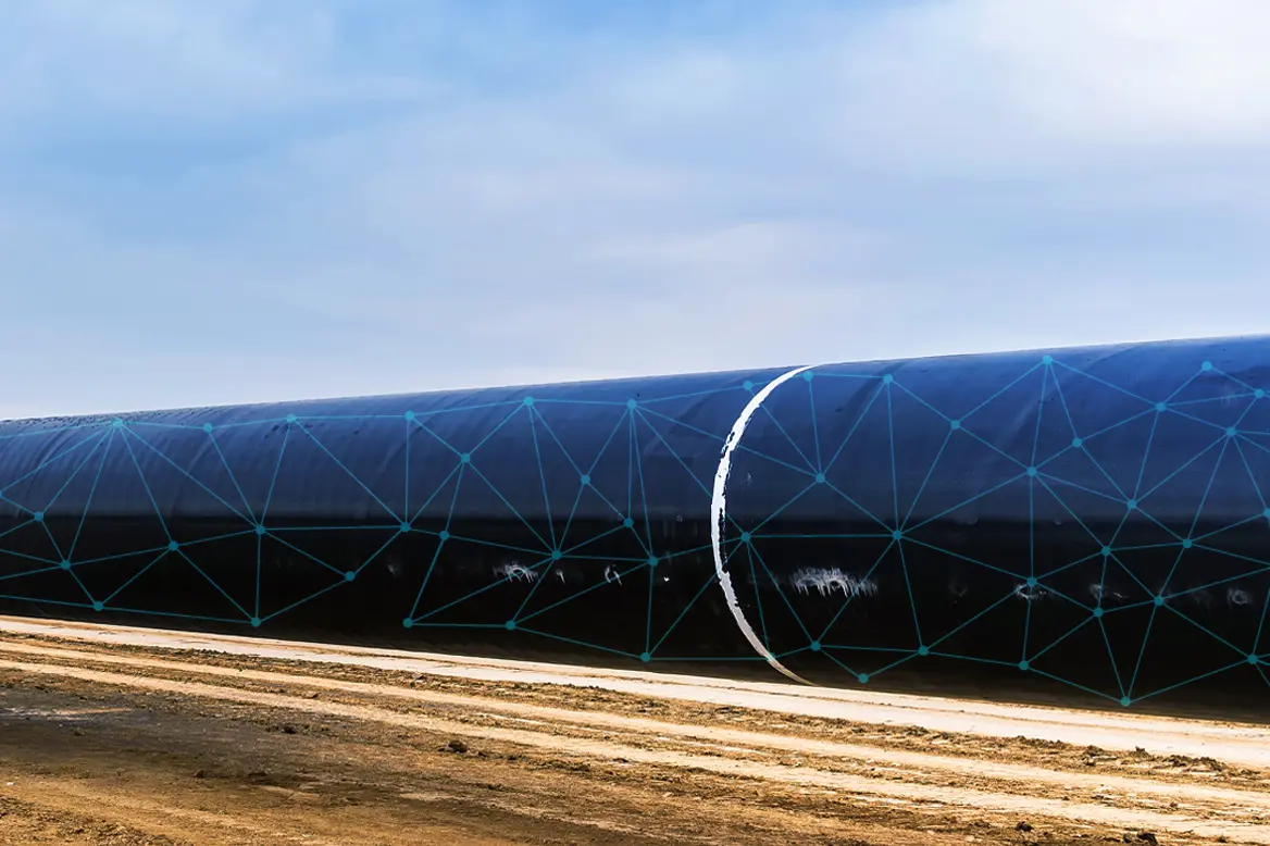
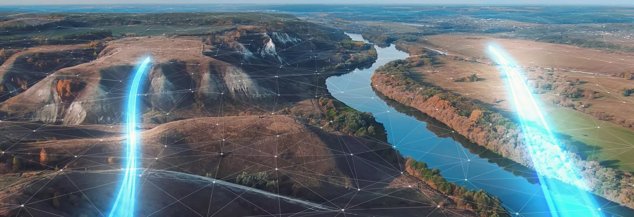
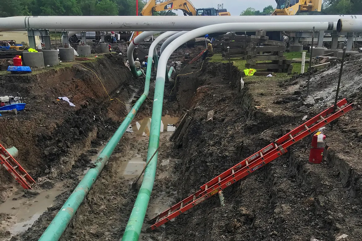
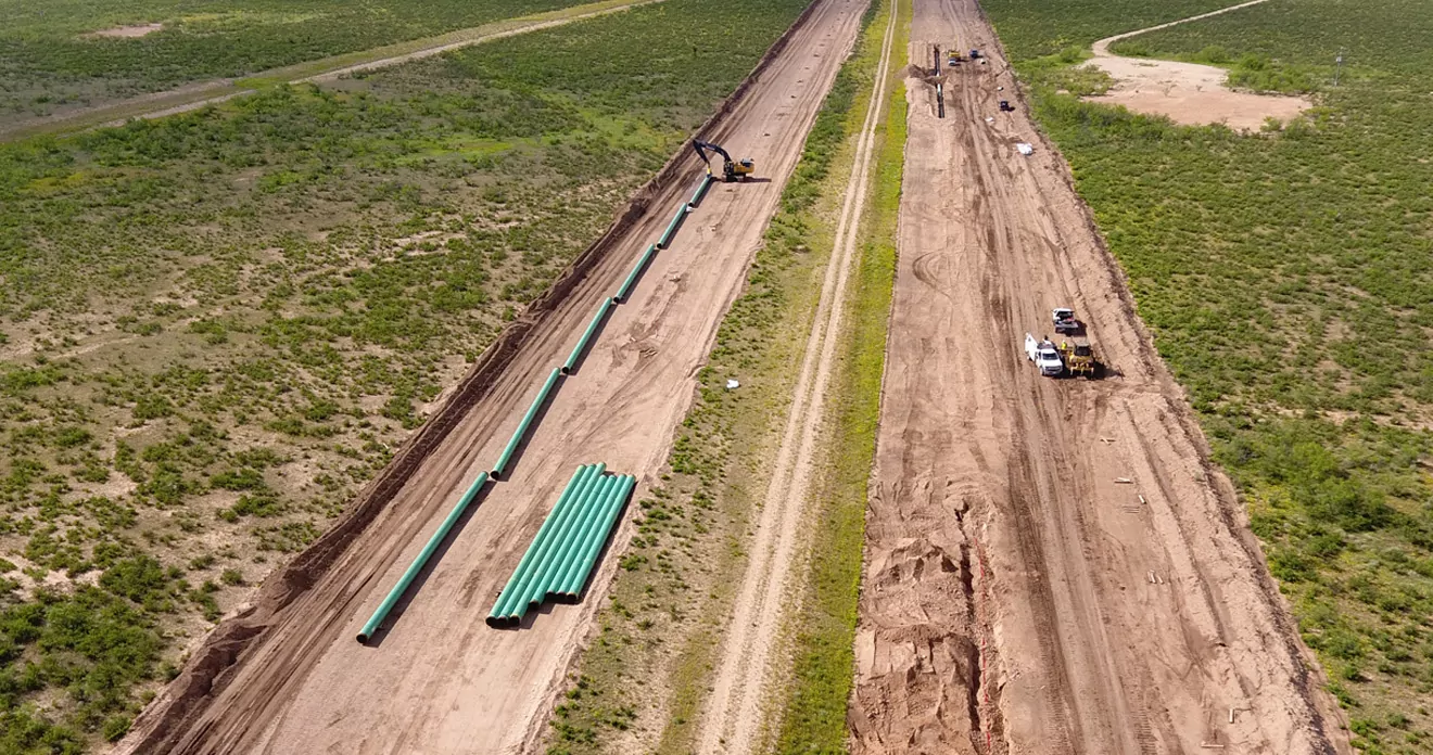
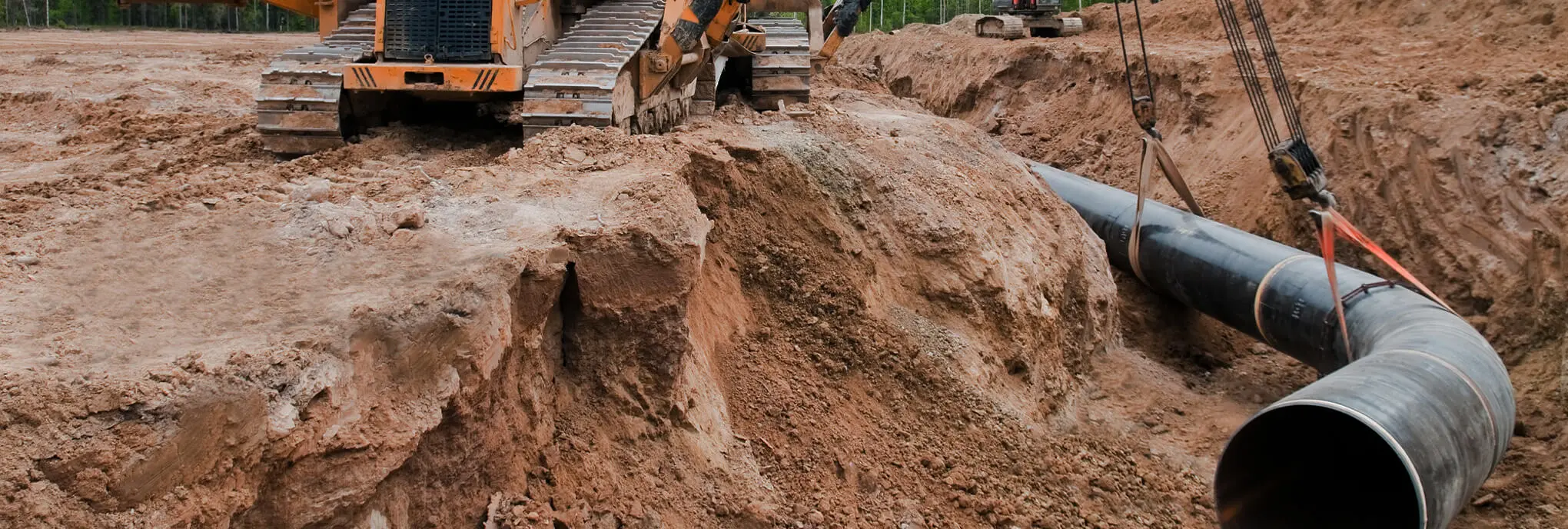
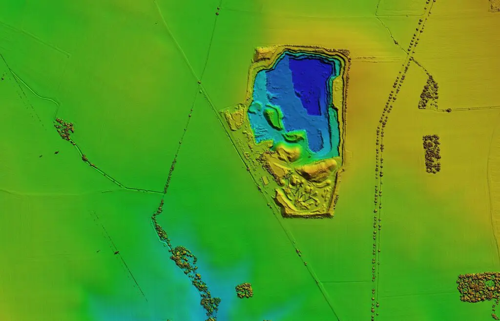
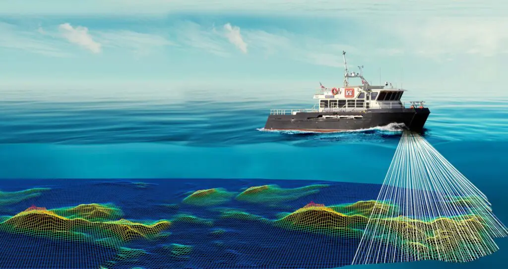
Our surveying and mapping services help identify the safest and most efficient route for your pipeline, factoring in environmental conditions and potential obstacles. Leveraging advanced technologies like RTK GPS, Lidar, and drone mapping, we deliver real-time data to keep your project on schedule.
With a team of licensed land surveyors, geographic information system (
GIS) specialists, and field crews strategically positioned across the country, Audubon is fully equipped to address your unique project needs. We collaborate with you to deliver detailed, interactive data that support decision-making at every stage. Whether you’re conducting a small boundary survey or overseeing a large-scale infrastructure project, we bring our best to ensure your project’s success.