Industry
Author

Want to share this article?
Drone Surveying Solutions
Leveraging the power of modern UAV data
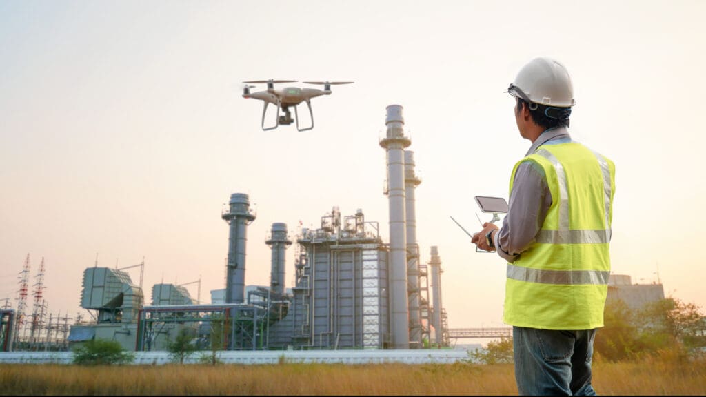
Accurate geospatial data are critical for gaining insights into your infrastructure and project conditions. Using unmanned aerial vehicles (UAVs) means faster, safer, more accurate data collection, making them a powerful tool to drive project progress and confident decisions.
Audubon Companies offers drone surveying for any project, combining advanced UAV and LiDAR technologies with experienced geospatial and infrastructure professionals. Our team creates field-to-finish deliverables with an integrated workflow to support planning, engineering, construction monitoring, and long-term asset
management. We collaborate with you and tailor our services to bring you reliable datasets in a fraction of the time.
Engineering-ready deliverables
- High-density LiDAR
- Orthomosaic aerial imagery
- Digital terrain/surface models
- Topographic maps + contours
- Thermal reports
UAV applications
- Electrical + telecom infrastructure
- Industrial plants
- Rail-ship-truck terminals
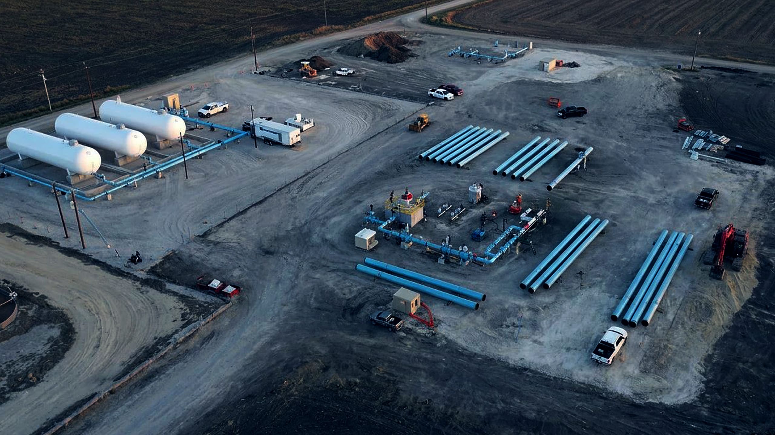
- Rigs, pipelines, refineries
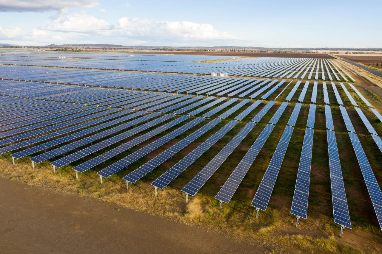
- Wind turbines + solar panels
- Construction + mining sites
View more of our surveying solutions here.



Related services we offer

Maximize project value with leading technologies and an agile, dedicated team.
Improve productivity and efficiency while reducing downtime and costs.

Safely and reliably extend productive life with customized solutions that detect damage and combat corrosion.