Capabilities
Survey & Mapping
SURVEYING, MAPPING & GIS SERVICES THAT SET THE FOUNDATION FOR PROJECT SUCCESS
Geospatial data, applications, and technologies are constantly changing. Integrating the latest techniques and methodologies into your workflow can unearth hidden opportunities, increase operational efficiency, and maximize the productivity of your asset. Audubon Companies provides surveying, mapping, cloud-based geographic information system (GIS), and geospatial data solutions that support end-to-end asset decisions in a range of markets, including energy, power, and industrial disciplines.
For decades, we’ve provided our clients with reliable, efficient, and cost-effective surveying services and solutions from concept to delivery and every stage in between. Whether you need a small boundary surveys or are implementing a large-scale energy infrastructure project, we have the decades of deep domain expertise, operational flexibility, and technical resources to ensure your project’s success.
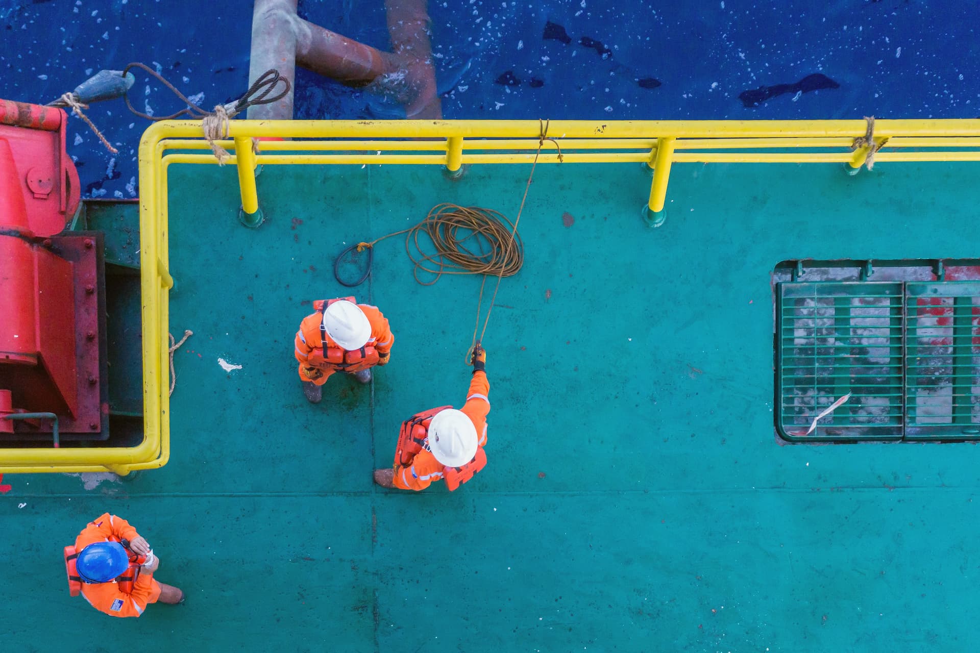
Our roster of professionally licensed land surveyors, GIS experts, and field crews leverage advanced technologies and time-tested methods to collect, analyze, and interpret survey data for unparalleled accuracy, completeness, and reliability. Audubon survey and mapping experts are strategically positioned around the US to enable quick dispatch to your project site. Coupled with our integrated, collaborative way of working, Audubon Companies is uniquely positioned to provide you with customized solutions that meet your objectives—safely and efficiently.
Drive better decisions with actionable insights that maximize the value of your survey and mapping data.
CAPABILITIES
- Preliminary Studies & Surveys
- Pipeline, Facility & Site Surveys
- As-Built Surveys
- Hydrography Survey
- Boundary & American Land Title Association (ALTA) Surveys
- State Authority Boundary Surveys on Indian Fee or Trust Lands
- Change of Custody Sign Replacement
- Depth-of-Cover Surveys
- Full GIS Capabilities
- Automated Machine Guidance (AMG) Setting & Pig Tracking
- Certified Plats & Mapping Exhibits
- Plan Reproduction
- Permit Exhibits
- Pipeline Routing & Field Constructability Review
- Right-of-Way Assessments
- Well Location Permitting
- Well Location and Access Roads Staking & Unit Survey
- Gathering & Distribution System Mapping
- Piping & Instrumentation Diagram (P&ID) Walkdowns
- Encroachment Surveys
- Federal Energy Regulatory Commission (FERC) Section 7(c) Services
- Unmanned Aerial Vehicle (UAV) Drone Mapping Services
- Condemnation Surveys & Plats
- Oil & Gas Lease Boundary Surveys
- 3D Laser Scanning
PROJECT EXPERIENCE

OIL & GAS PIPELINES
PATRIOT PIPELINE
West Texas

OIL & GAS PIPELINES
AUGUSTUS PIPELINE
Texas

Onshore Oil & Gas
NGL STORAGE FACILITY
Brazoria County, Texas

OIL & GAS PIPELINES
P5 PIPELINE EXTERNAL CORROSION DIRECT ASSESSMENT (ECDA)
Corpus Christi, Texas