Client
Location
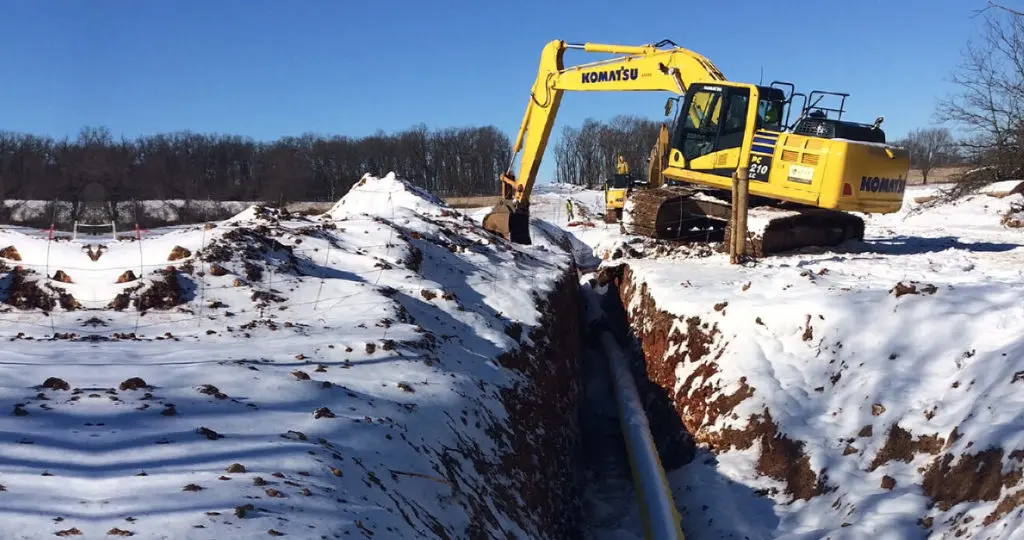
Cherokee Pipeline Replacement
Project overview
- Replacement of 10-inch liquids pipeline
- 272 miles across the midwestern US
Scope of work
- Survey & mapping
- As-built documentation
- GIS & data management
- Construction staking
Project summary
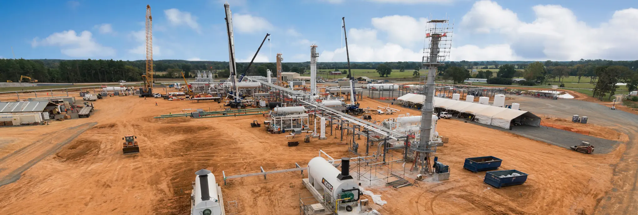
Audubon was contracted by a major liquids pipeline and refining company to provide survey and mapping services in support of a pipeline replacement project. The 10-inch Cherokee pipeline runs 272 miles from Glenpool, Oklahoma, to Mt. Vernon, Missouri.
Our team supplied preliminary and as-built surveys, routing, construction staking, and as-built alignment sheet documentation. Audubon also provided and loaded geographical information system (GIS) pipeline data into the Pipeline Open Data Standards (PODS) GIS database.
Audubon survey services played an integral role in keeping the Cherokee pipeline replacement project on schedule during front-end loading (FEL) and construction.

Related Featured work
Related services we offer

Maximize project value with leading technologies and an agile, dedicated team.
Improve productivity and efficiency while reducing downtime and costs.

Safely and reliably extend productive life with customized solutions that detect damage and combat corrosion.
Related news + insights


Pipelines + Terminals