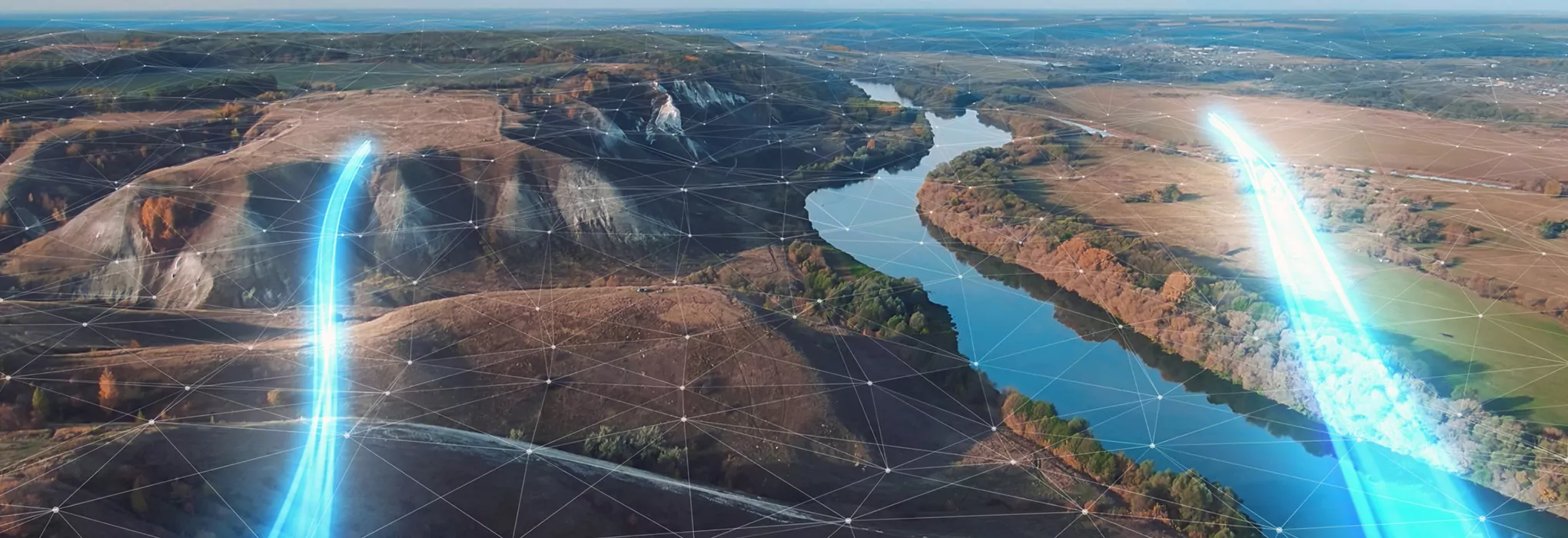
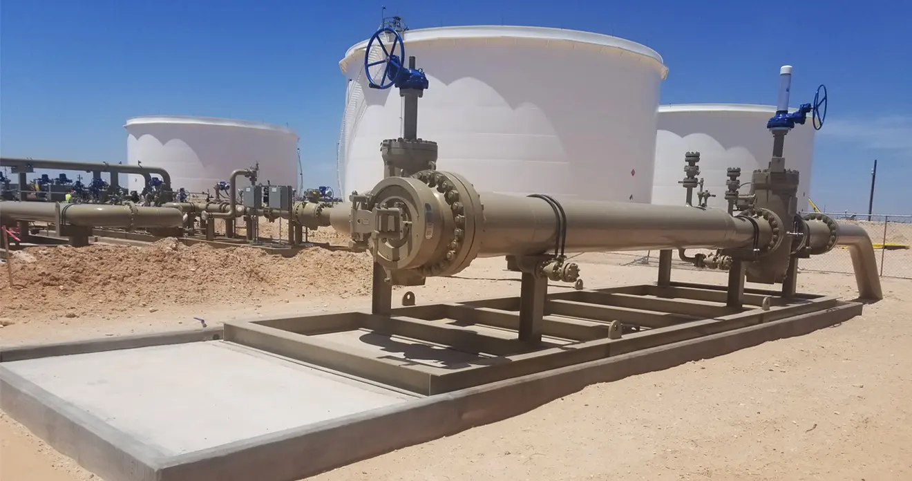
Applying state-of-the-art technologies, our geographic information system (GIS) mapping technologies collect the quickest, most accurate locational data from projects across industries. The Audubon GIS team integrates millions of data points with advanced applications, organizing the information you need to make decisions over the life cycle of your infrastructure. Our deliverables result in controlled cost, reduced risk, increased productivity, and confident asset management for your business.
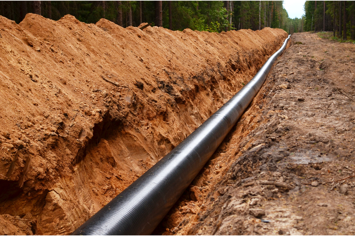
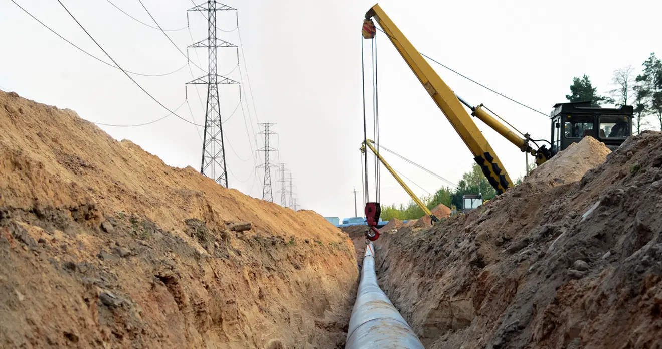
With precise, field-to-finish solutions for topographic survey, mapping,
inspection,
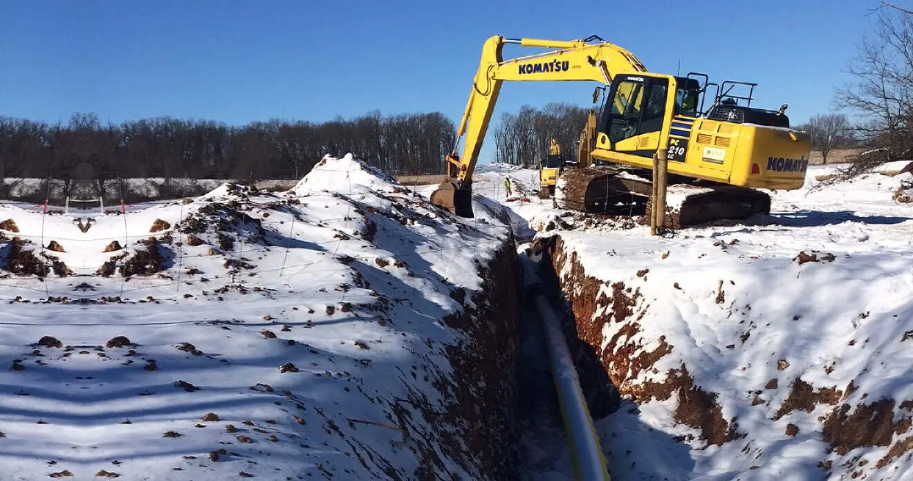
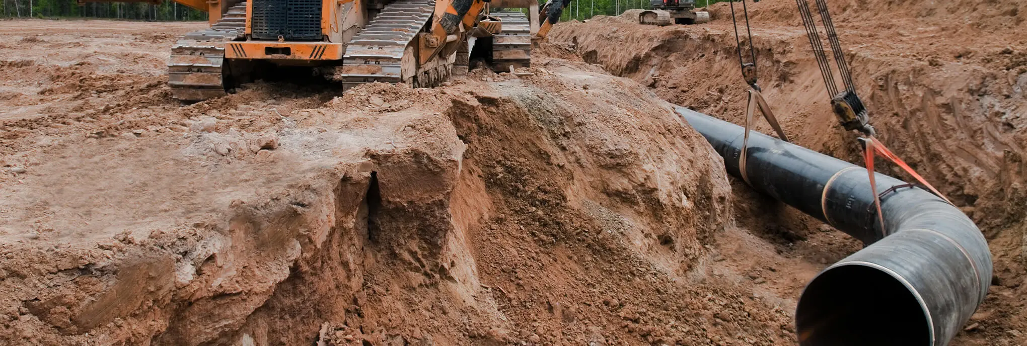
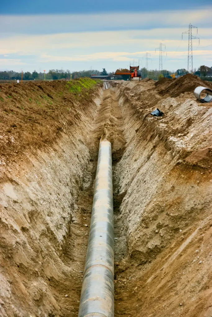
construction progress tracking, precision agriculture, and
environmental management, Audubon delivers.
Audubon utilizes best-in-class GIS platforms and technology partners to simplify data access and analysis. Our GIS solutions are powered by
ESRI to deliver actionable insights for your project’s success. Our data portfolio is further enhanced by our
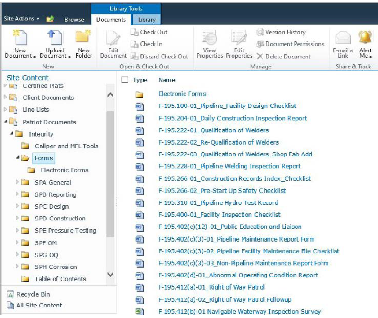
digital solutions—customizable software systems designed to support projects.