Client
Location

Subject Matter Expert
Pipeline Surveying Services for 2-Bcf/d LNG Supply System
Surveying: As-built confidence + integrated life-cycle data management
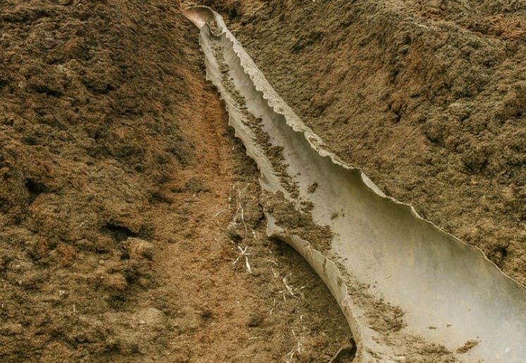
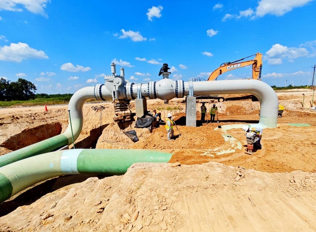
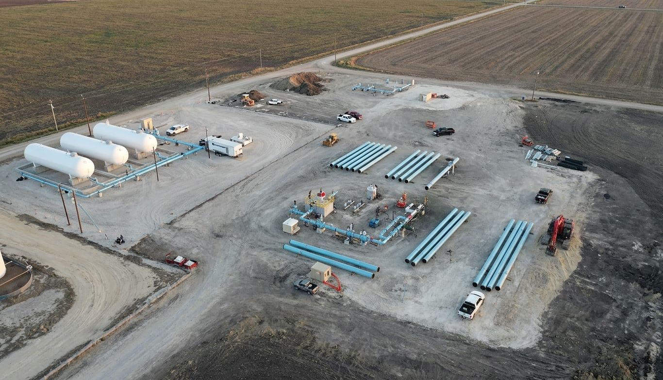
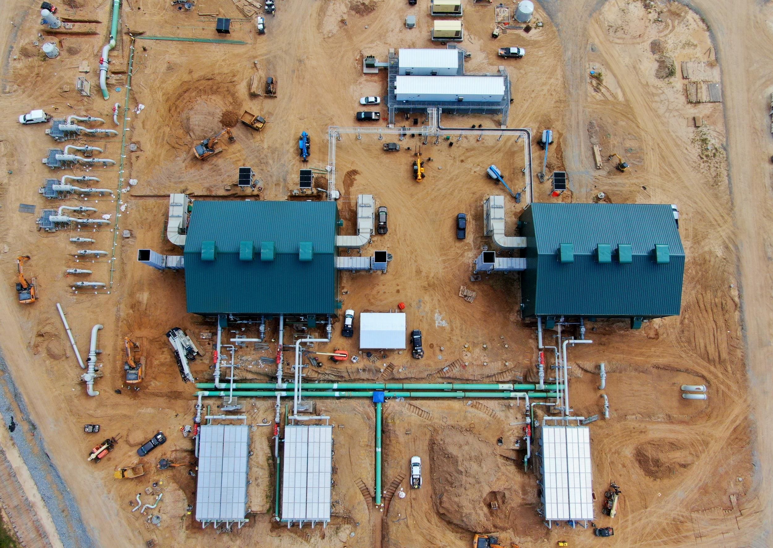
For the new LNG supply system on the Gulf Coast, Audubon surveyed the 72-mi, 42-in pipeline connector between the compression station in Beauregard Parish and the export terminal in Port Arthur. We performed an as-built survey across diverse, environmentally sensitive landscapes, while navigating state, utility, highway, bayou, canal,
and river crossings. Highly accurate spatial datasets were captured utilizing advanced imaging technologies, ensuring alignment and constructability from installation through tie-in.
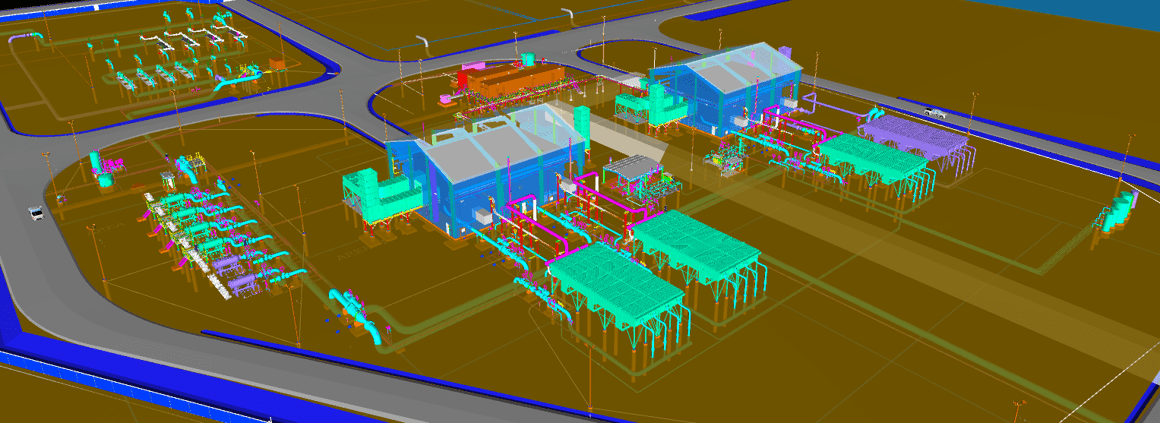
To achieve traceable, verifiable, and complete (TVC) records according to Pipeline and Hazardous Materials Safety Administration (PHMSA) regulations, material tagging and tracking was optimized with our proprietary data management platforms, Audubon Mapping and Project Management (AMPM) and Audubon Integrated Management System (AIMS). Together, the systems created a complete source of truth that the owner will use over the life of the asset for compliant engineering and construction data.
Read the full case study here.
Surveying this LNG interconnect wasn’t just about capturing the pipeline; it was about delivering trustworthy data for our client.
Having every segment traceable and every record connected sets the foundation for decades of safer, smarter operations.
-Abel Tello, Project Manager, Mapping, Audubon

Related Featured work
Related services we offer


Leverage best-in-class tools and platforms for actionable insights on your assets.