Industry
Author
Want to share this article?
The Expertise Behind Placing Gathering Systems
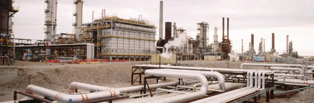
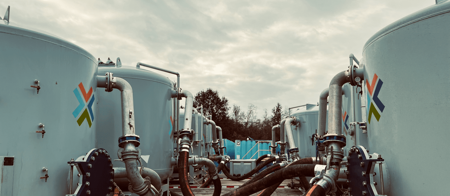
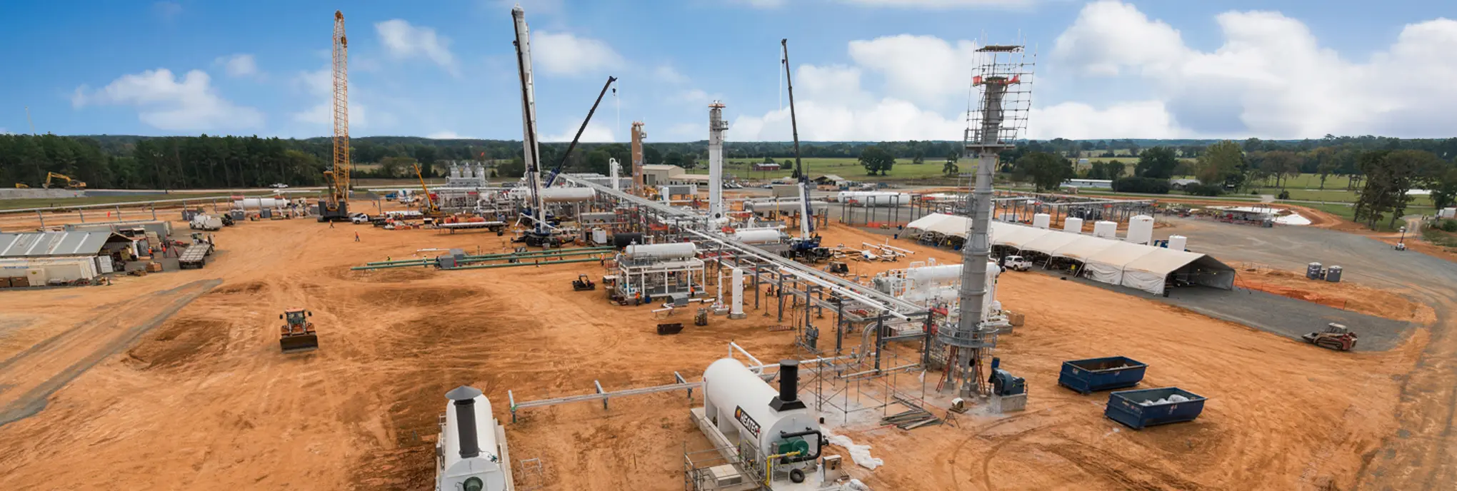
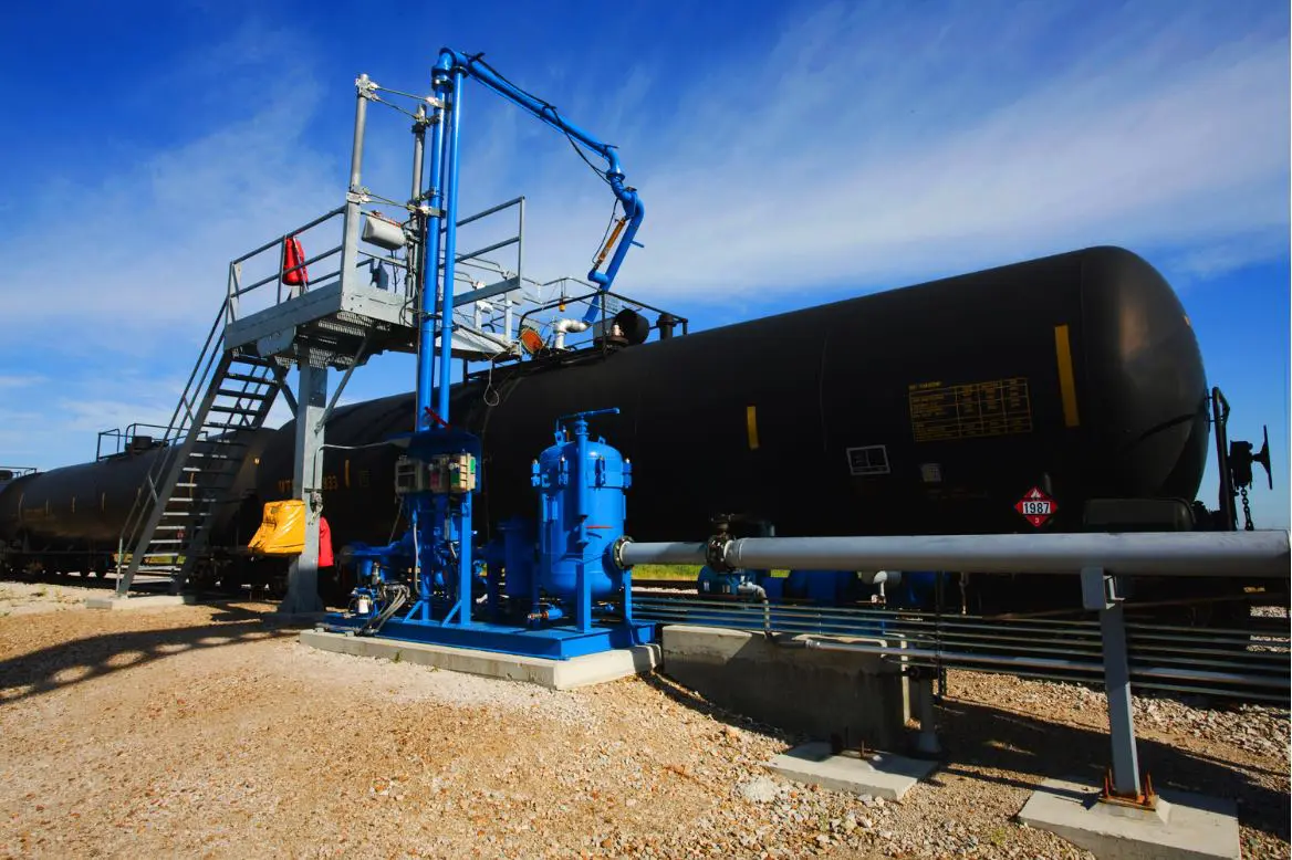
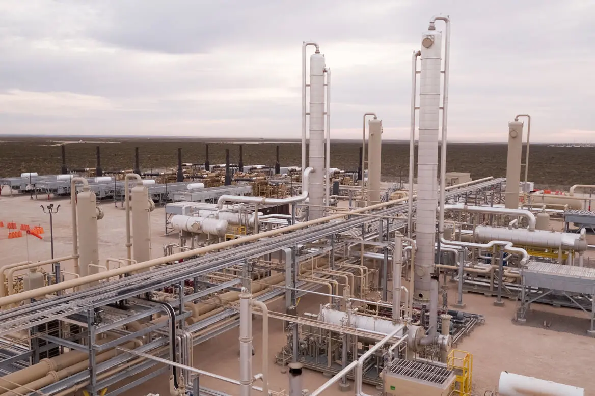
Gathering systems are a collection of distribution, regulation, and separation equipment designed to “transport and control the flow of oil or gas” from its source to a particular destination.
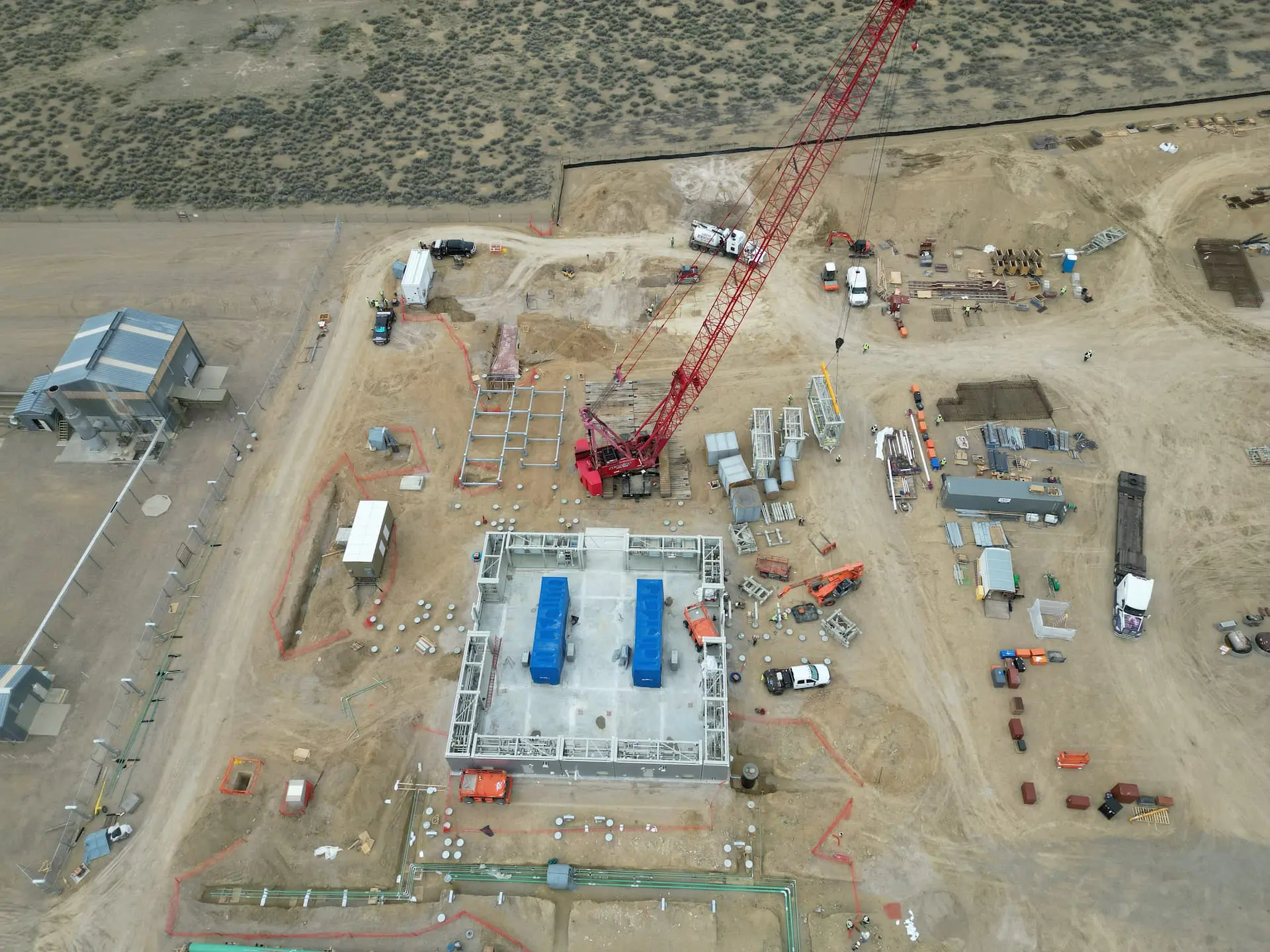
They act as a vital midstream component to the industry, keeping the flow of energy running smoothly and efficiently. As such, they require careful planning and construction. Engineers of gathering systems must be knowledgeable in many aspects of gathering networks, including flow fundamentals, erosion velocities, backpressure, and hydraulic systems. Their placement requires even more considerations.
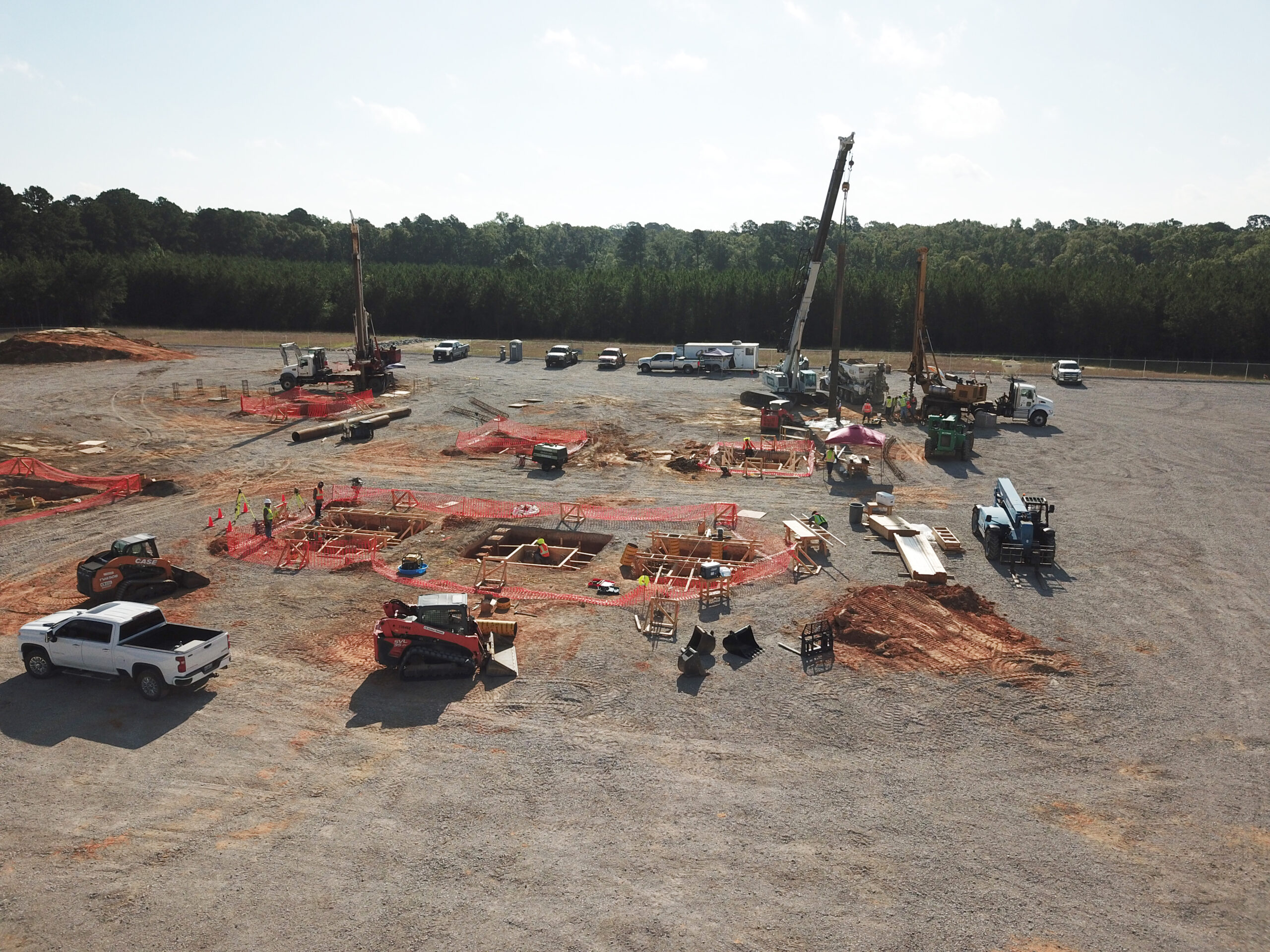
Platting, for example, is an important aspect of implementing gathering systems. Platting laws vary from state to state and from municipality to municipality. However, the general idea behind platting is to ensure the uniform and safe development of land parcels based on existing zoning and land-use laws. Before a well can be drilled or a gathering system installed, a survey team must assimilate deed, tax, and other property maps with property survey data and zoning laws. Surveyors and engineers will often use technology like AutoCAD or a geographic information system (GIS) to better represent that property survey data in a 2- or 3-D format. Before being approved for the proposed use, additional input from the public may also be required.
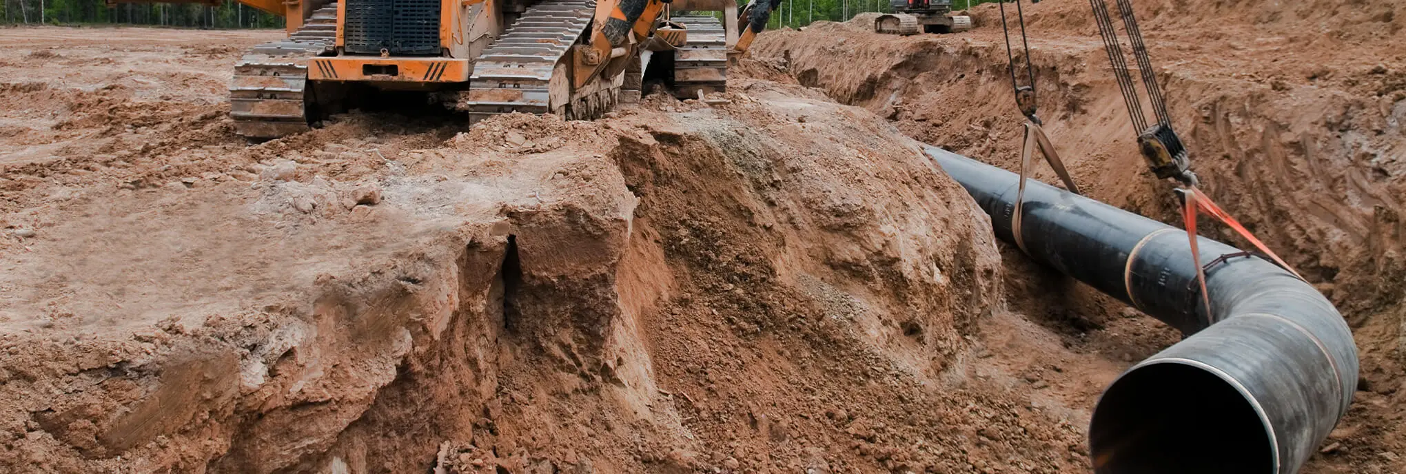
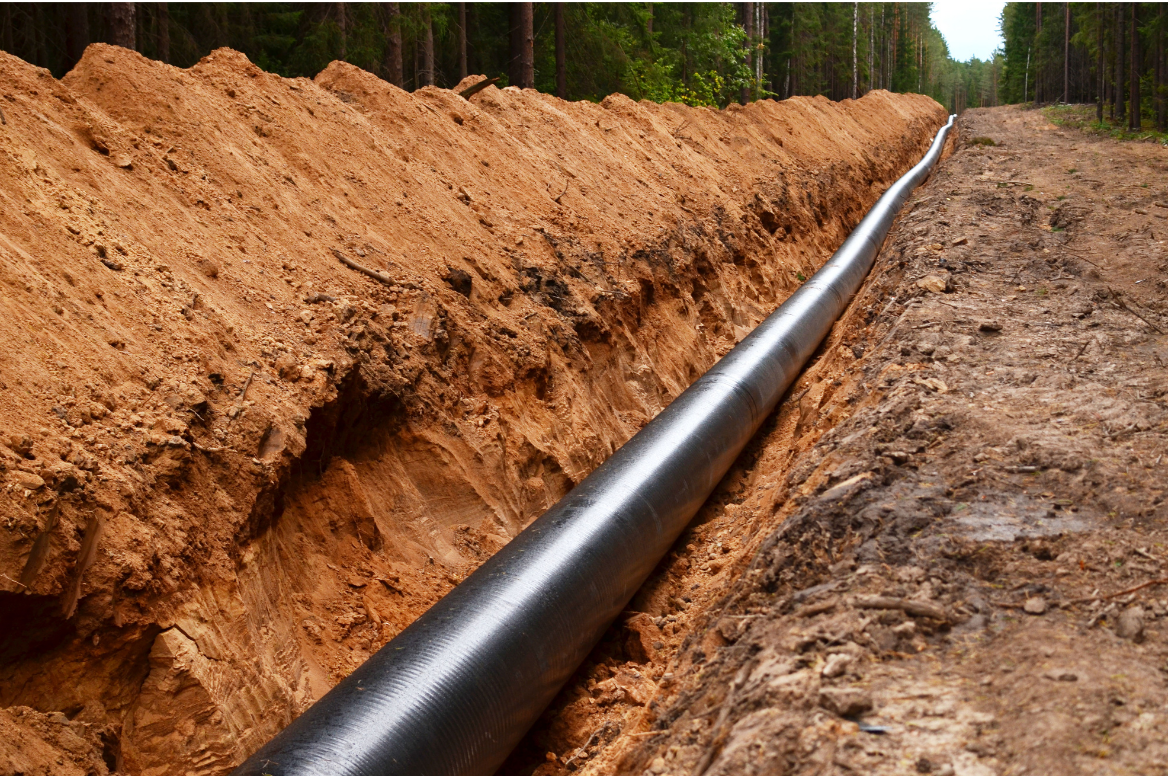
That same survey team may also stake out the pad for the physical infrastructure and assist with delineating clearing limits, erosion and sediment (E&S) controls, and common access drives. They may also conduct mapping activities of their own, including aerial and 3D laser mapping when available public data is limited. Additionally, they assist engineers with the development of alignment sheets for the proposed construction. Alignment sheets act as as-built documents that direct the precise placement of a gathering system, pipeline, or some other structure. These documents indicate stations, centerlines, reference points, pipe descriptions, and additional easement information. In the end, the surveyors and engineers engaging in all these services must carefully coordinate to ensure a gathering system is safe and efficient.


Related services we offer
Ensure compliance and quick turnaround with mobile, modular systems.

Increase transparency and effectively monitor third parties across your supply chain.
Integrate local expertise and specialized knowledge for acquisitions and permitting.
Improve productivity and efficiency while reducing downtime and costs.
Safely and reliably extend productive life with customized solutions that detect damage and combat corrosion.


Leverage best-in-class tools and platforms for actionable insights on your assets.

Achieve destruction efficiency, regulatory compliance, and sustainable energy at once.
Leverage significant EPC experience for specialized control panel design and delivery.
Improve time and cost efficiencies with Opero Energy's turnkey processing equipment and systems.
Recover quickly from catastrophic events with our multidisciplinary capabilities and technical field expertise.

Apply state-of-the-art machines, thorough project planning, and certified technicians at your site.


Proactively assess your risk and enhance operational safety.


Meet complex requirements, mitigate risk, and maximize project economics.

Boost uptime, safety, and performance from final construction to operation and handover.

Enhance, extend, and maximize the productivity of brownfield assets for optimal ROI.

Accelerate project timelines, improve plant performance, and circumvent issues before they affect operations.
Apply a proven, proprietary process to get TVC records for PHMSA compliance.

Get custom, cutting-edge automation for reliability and performance.

Increase asset protection and productivity while maintaining functional safety standards.

Fortify your infrastructure, optimize network performance, and minimize cyber risk.

Maximize project value with leading technologies and an agile, dedicated team.

Better define work scope, decrease uncertainty, and meet strategic objectives.

Get a trusted partner to achieve your project goals safely and efficiently.